
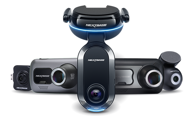
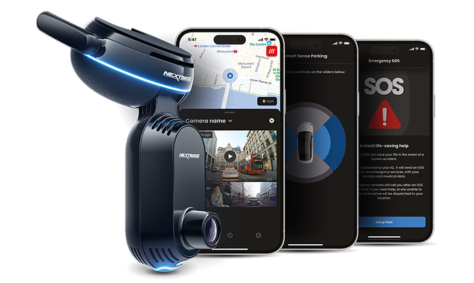
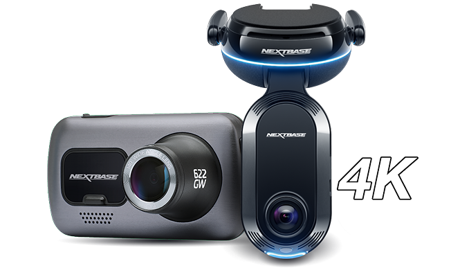
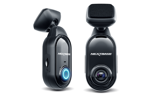





InSight is Nextbase's Imagery Solutions Built for Scale
We transform millions of real-world journeys into high-fidelity, metadata-synchronised road imagery. We power mapping, mobility, and infrastructure platforms with fully anonymised privacy-compliant, request-based access.
Improved Safety is our purpose, privacy by design is our commitment.
4+ Million
Cameras on the road
Global
Retail Distribution
Offices
London, Wales, US, Japan, Taiwan, China
InSight is Nextbase's Imagery Solutions Built for Scale
We transform millions of real-world journeys into high-fidelity, metadata-synchronised road imagery. We power mapping, mobility, and infrastructure platforms with privacy-compliant, request-based access.
Improved Safety is our purpose, privacy by design is our commitment.
Global Retail Distribution
4+ Million Cameras on the road
Offices: London, Wales, US, Japan, Taiwan, China
What sets InSight apart
Privacy Enforced Suppression, on edge PII (faces and licence plates) removal, full encryption and geofencing applied in full compliance with local regional governance.
High-Fidelity Imagery at Real-World Scale Engineered for consistent quality across lighting, motion, and dense traffic conditions.
Synchronised, Structured Metadata Every asset is geo-aligned, time-stamped, and enriched at source, enabling precise search and retrieval.
Edge-to-Cloud Ownership & Innovation Only Nextbase can offer the entire capture-to-consumption pipeline with rapid iterations across hardware and software.
Traditional Models vs. Nextbase Intelligence
Legacy data collection relies on expensive, periodic surveys and static sensors with limited reach. See how our distributed, privacy-first network transforms road imagery into a continuous, real-world resource built for scale.
Traditional Models
Fixed sensors (limited coverage)
Periodic surveys (data ages quickly)
High operational costs
Nextbase Intelligence
Distributed real-world capture
Continuous refreshed data
Cost-effective scale
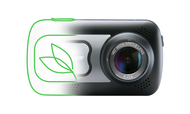
It all starts with our Nextbase dash cams...
Trusted by millions, behind every drive is our privacy‑first, AI‑enabled Connected Intelligence Ecosystem. From crash response and smarter maps to informing policy...
We built a connected safety and mobility platform with the purpose to protect what matters... A simple drive fuels a safer world, protected by Nextbase.
Our Case Studies
Hawaii Government “Eyes on the Road” Project
Utilized over 1,000 Nextbase cameras to capture roadway condition imagery. Precisely identified potholes, guardrail wear, debris, and active work zones to maintain safety.
Long-Tail Event Detection for Autonomous Systems with Computer Vision
Edge AI detects unique, long-tail scenarios that are not in standard datasets (e.g., unusual debris, complex occlusions, rural lane anomalies). These long-tail events are crucial to train safer autonomous models beyond typical urban scenes (handling rare edge cases).
Mapping Road Coverage Expansion With Low-Latency Street-Level Imagery
Traditional mapping fleets are costly and slow to refresh, where infrastructure constantly changes. Crowdsourcing data expands real-time coverage beyond fixed sensors and limited fleet routes
Our Verticals
Accelerating Safer, Smarter Autonomy
Mobility platforms and autonomous system developers require more than video. They need contextualised, synchronised environmental data that reflects real-world variability.
Continuous Map Intelligence
Modern mapping platforms require frequent refresh, contextual validation and scalable coverage without the cost and delay of dedicated survey fleets.
Real-World Visibility for Physical Networks
Infrastructure operators and public authorities require accurate, up-to-date street-level context to manage physical assets and plan urban environments.
If You're Already Driving the Roads… Why Not Monetise Them?
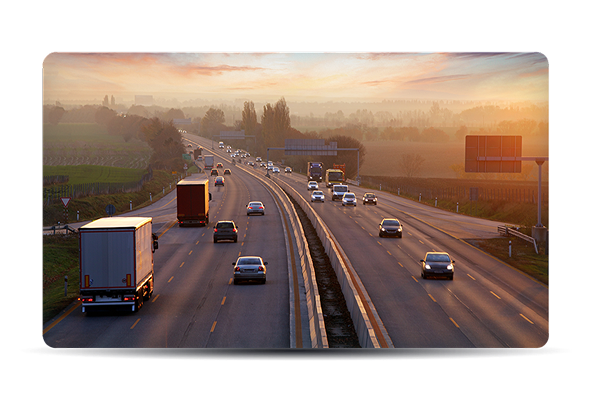
Every day, fleet vehicles travel thousands of miles across urban centres, motorways, rural roads, industrial corridors and residential streets.
That coverage has value. Not as raw footage but as structured, privacy-governed, metadata-synchronised road intelligence.
Nextbase enables fleets to convert everyday operational mileage into a compliant, revenue-generating digital asset without changing routes, workflows, or driver behaviour.
Retain
Retain Control Over Your Data
Built for
Compliance From Capture
Revenue
Without Operational Complexity
If You're Already Driving the Roads... Why Not Monetise Them?
Every day, fleet vehicles travel thousands of miles across urban centres, motorways, rural roads, industrial corridors and residential streets.
That coverage has value. Not as raw footage but as structured, privacy-governed, metadata-synchronised road intelligence.
Nextbase enables fleets to convert everyday operational mileage into a compliant, revenue-generating digital asset without changing routes, workflows, or driver behaviour.
Retain Retain Control Over Your Data
Built for Compliance From Capture
Revenue Without Operational Complexity
Unlock Structured
Street-Level Intelligence
Whether you want to access privacy-first road imagery or monetise your fleet’s coverage, our team can help