


InSight is Nextbase's Imagery Solutions Built for Scale
We transform millions of real-world journeys into high-fidelity, metadata-synchronised road imagery. We power mapping, mobility, and infrastructure platforms with privacy-compliant, request-based access.
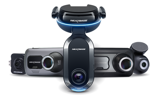
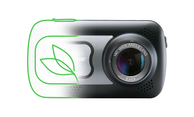
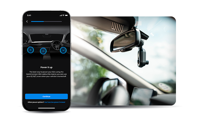
It all starts with our Nextbase dash cams. Trusted by millions and added to vehicles worldwide. But Nextbase is not just products. It is protection, intelligence and public value at scale.
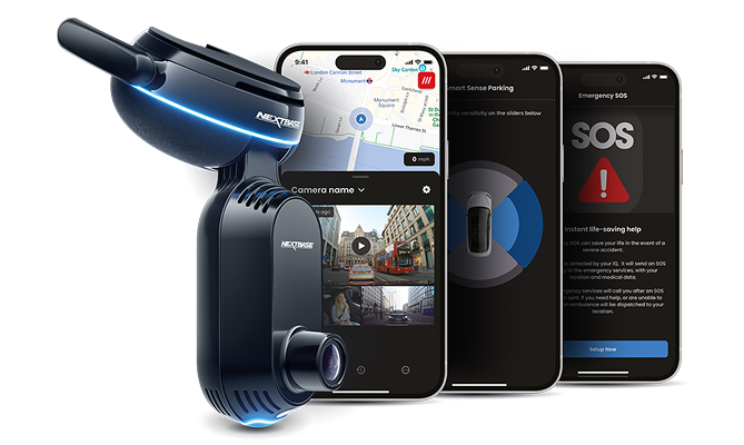
Behind every drive is our privacy‑first, AI‑enabled Connected Intelligence Ecosystem: a network of devices, apps, software and data services that transforms everyday journeys into real‑time, actionable insights.
From crash response and smarter maps to informing policy, powering next‑generation OEM safety platforms, and even creating digital twins of cities, Nextbase helps mobility innovators, public infrastructure teams and automakers move the world forward—safely, intelligently and responsibly.
We built a connected safety and mobility platform with the purpose to protect what matters—people, vehicles and infrastructure—and to make roads smarter and safer worldwide.
A simple drive fuels a safer world, protected by Nextbase.
| Traditional Models | Nextbase Intelligence |
| Fixed sensors, limited coverage | Distributed real-world capture everywhere vehicles go |
| Periodic surveys | Continuous refreshed data |
| Separate data streams | Metadata-synchronised, structured dataset |
| Costly manual inspection | Automated insights and event tagging |
Our Verticals
Autonomous Vehicles & Mobility
Accelerating Safer, Smarter Autonomy
Mobility platforms and autonomous system developers require more than video. Models require contextualised, synchronised environmental data that reflects real-world variability.
- Nextbase provides continuously refreshed street-level imagery enriched with precise location, time, and motion context. This enables:
- Targeted scenario retrieval for model training
- Edge-case discovery across diverse road conditions
- Validation of perception systems against live environments
- Ongoing refresh of environmental datasets
Our distributed capture model reflects natural driving patterns providing environmental and geographical diversity at scale. Privacy enforcement at capture and access layers ensures AV development can progress within a compliant and auditable framework.
Mapping & Navigation
Continuous Map Intelligence
Modern mapping platforms require frequent refresh, contextual validation, and scalable coverage without the cost and delay of dedicated survey fleets.
Nextbase delivers synchronised, high-fidelity imagery aligned to precise geospatial coordinates, enabling:
- Signage, lane, and road geometry confirmation
- Change detection on specific roads
Through a structured, request-based access model, mapping teams can scope imagery by geography and time window eliminating unnecessary bulk downloads and reducing data processing burden to focus on fresh imagery which reflects the roads being driven daily today.
Infrastructure & Smart Cities
Real-World Visibility for Physical Networks
Infrastructure operators and public authorities require accurate, up-to-date street-level context to manage physical assets and plan urban environments.
Nextbase provides governed, scalable street visibility suitable for:
- Road condition monitoring
- Asset inspection and verification
- Construction impact assessment
- Urban planning and digital twin development
All data is delivered within a privacy-first governance framework, ensuring compliance across jurisdictions and enabling responsible public-sector adoption.
What sets InSight apart
Edge-to-Cloud Ownership & Innovation
Only Nextbase can offer the entire capture-to-consumption pipeline with rapid iterations across hardware and software.
High-Fidelity Imagery at Real-World Scale
Engineered for consistent quality across lighting, motion, and dense traffic conditions.
Synchronised, Structured Metadata
Every asset is geo-aligned, time-stamped, and enriched at source, enabling precise search and retrieval.
Privacy Enforced
Suppression, redaction, and geofencing applied for each request with local regional governance.
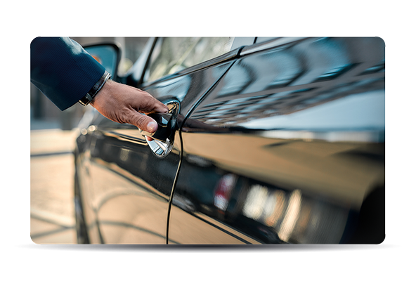
If You’re Already Driving the Roads… Why Not Monetise Them?
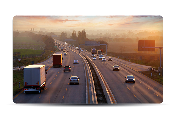
Every day, fleet vehicles travel thousands of miles across urban centres, motorways, rural roads, industrial corridors and residential streets.
That coverage has value.
Not as raw footage but as structured, privacy-governed, metadata-synchronised road intelligence.
Nextbase enables fleets to convert everyday operational mileage into a compliant, revenue-generating digital asset without changing routes, workflows, or driver behaviour.
Retain Control Over Your Data | Built for Compliance From Capture | Revenue Without Operational Complexity
Global Road Coverage
+4M
Cameras on the road
Global
Retail Distribution
Offices
London • Wales • US • Japan • Taiwan • China
Unlock Structured Street-Level Intelligence
Whether you want to access privacy-first road imagery or monetise your fleet’s coverage, our team can help
In the News
+4M
Cameras on the road
Global
Retail Distribution
Offices
London • Wales • US • Japan • Taiwan • China
Investor Relations
Nextbase is backed by Sandton Capital Partners. For more on our financial roadmap and governance, please visit Sandton’s site.
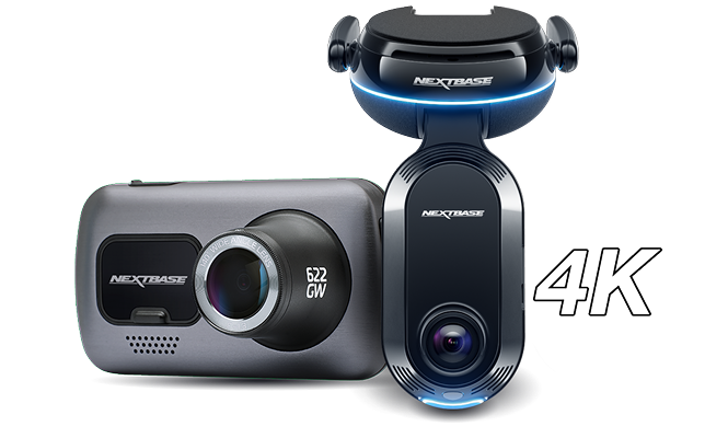
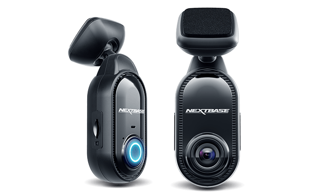
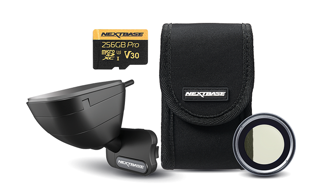
The Dash Cams
The large heading goes here
The large heading goes here
Esitu Solution online driver assessments
Unlock Structured Street-Level Intelligence
Whether you want to access privacy-first road imagery or monetise your fleet’s coverage, our team can help